Showing posts with label Free. Show all posts

Tuesday, June 19, 2018

An Amazing Free Alternative to Chimney Rock


If you frequently read our blog posts,  you may recall a recent entry entitled “8 Tranquil Spots not to Miss in North Carolina”.   This post featured some amazing outdoor experiences in and around the Asheville area.   On this same trip, we made a startling new discovery while pondering whether or not to visit the more touristy Chimney Rock attraction, known to so many.  It is no secret that our Frugal Family Travelers often get excited when we find a new place “off the beaten path”.  So, it was ultimately a pretty easy decision in the end to visit this spot! 

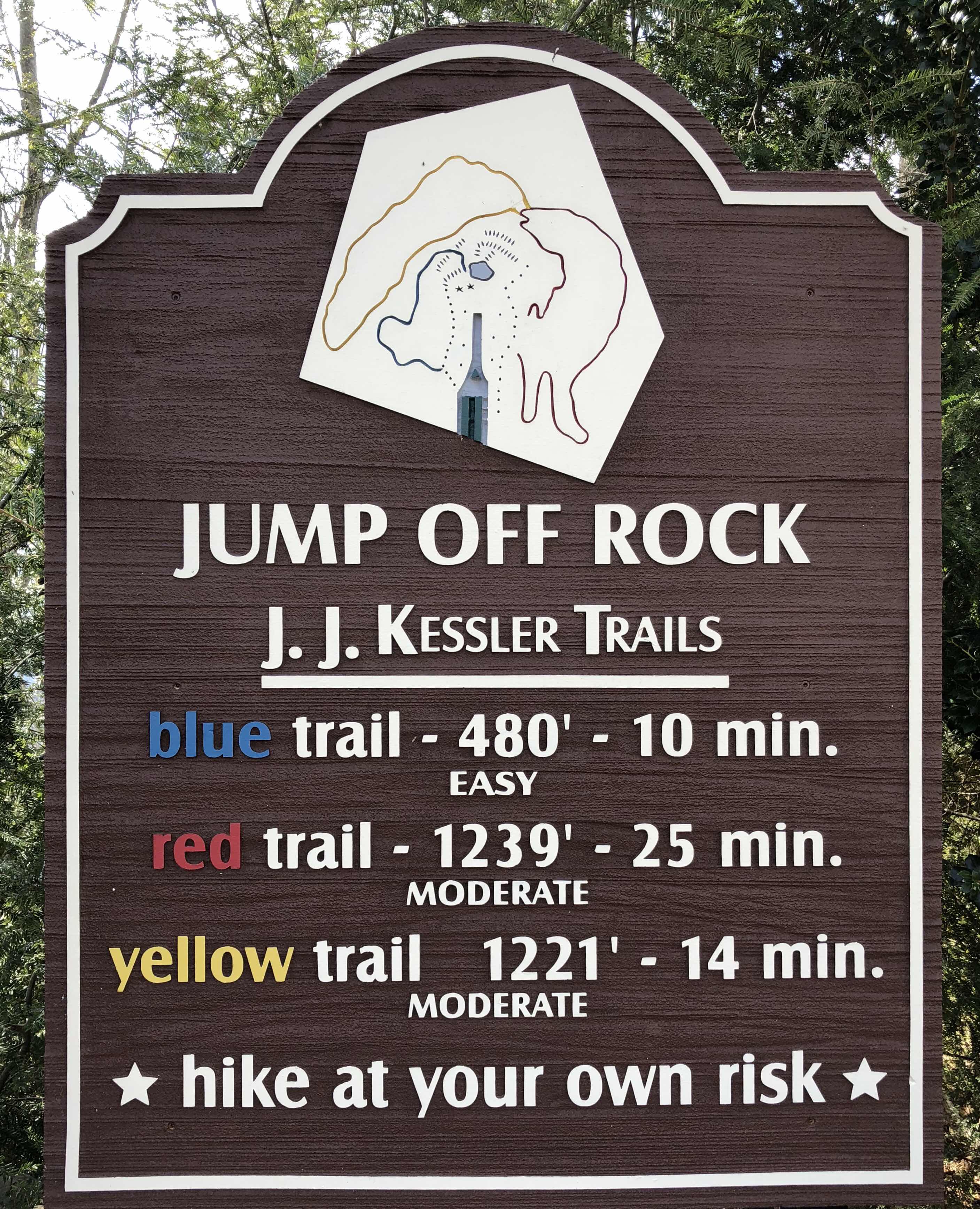
“Jump Off Rock” in Laurel Falls, NC became the target of our next adventure!  We drove up steep winding roads roads,  through the beautiful Laurel Falls neighborhood and ultimately made it to the top of the mountain with ease.   We parked the car and were pleasantly surprised to learn that the overlook was just a short distance away. 

At 3,025 ft., the panoramic views from “Jump Off Rock” are truly some of the best you will find while traveling the Blue Ridge Parkway.   Not only did we soak up the views but enjoyed a nice picnic lunch while trying to keep the blanket from sailing away from frequent gusts of wind.  After our picnic, we explored the three hiking trails available.  The trails were clearly marked and the signage explained the approximate hike times and difficulty ratings.  The trails  were also well maintained with diverse features which provided opportunities for discovery.  Overall, our experience here was one we will never forget.   Standing on “Jump Off Rock” to behold the beautiful mountain scenery, while at the same  time experiening the wind on our faces, was an experience that mere words can not adequately express.  So, if you find yourself in this area, add it to your travel itinerary.   You won’t be disappointed!  


Cost: Free

Note: Pack a pick basket and blanket!  Be prepared to enjoy the breeze and the amazing panoramic views!  The ease of access would make this an excellent point of interest for those traveling with small children as well as those with limited mobility. 


Disclaimer:
All content provided on Frugal Family Travelers blog is for informational purposes only. The owners of this blog make no representations as to the accuracy or completeness of any information on this site or found by following any link on this site.  The owners of Frugal Family Travelers blog do not share personal information with third-parties and are not responsible for the republishing of the content found on this blog on other Web sites or media without permission.  As with all travel, operating days, times, costs, etc., should be verified prior to departure.

Sunday, February 18, 2018

8 Tranquil Spots Not to Miss in North Carolina


Our Frugal Family Travelers have explored the mountains of Tennessee numerous times on previous trips!   However, on a recent excursion, we decided it was time to explore North Carolina!  The trip did not disappoint, mostly because it was devoid of the commercialism often found in Gatlinburg and Pigeon Forge.  Don’t get me wrong, we love these areas, but this new location offered the tranquil atmosphere we were seeking on this trip.  So, if you and your Frugal Family Travelers enjoy hiking and also soaking up the tranquility to be had at waterfalls, then add some of these North Carolina spots to your next vacation itinerary.    The best part is that these waterfalls are all in the same general area of Asheville, NC and therefore, can be easily combined with other local activities, including the Biltmore.  


Pearson’s Falls 


This beautiful waterfall is located in the foothills of the blue ridge mountains and is privately owned and maintained by the Tryon Garden Club.  The waterfall is a short hike from the parking area and is great for those traveling with small children or those with limited mobility.  


Cost$5 Adults; $1 Children


TipsPack bug spray


NoteBathroom facility on site. 


Directions

Pearson’s Falls 2748 Pearson Falls Road Saluda, NC 28773


———————


Catawba Falls


At approximately 100 ft high, Catawba is certainly worth the 3 mile round trip hike.   This best part is it is only 26 miles from Asheville! 


CostFree


TipsPack bug spray


NoteBathroom facility on site. 


Directions

Catawba Falls 3074 Catawba River Rd, Old Fort, NC 28762


Pictured below is Andrew’s Geyser.  This is a great picnic spot and is not far from Catawba Falls!  


——————


Linville Falls 


The falls plunges into the Linville Gorge which makes for a spectacular view!   The trail leading to the falls is 1.6 miles round trip and is easy for families as well as those with limited mobility.  


CostFree


Tips: Pack bug spray


Note: A bathroom facility is located up the road from the trailhead at the information cabin  


Directions:

Click here for direction


————————


High, Triple, Hooker Falls


These beautiful waterfalls are located in DuPont State Forest.  The best part is that all three are accessible from the same trail.   


(Above: High Falls) 


(Above: Tripple Falls)


(Above: Hooker Falls)


(Above: Covered Bridge Above High Falls)


Cost: Optional Donation


Tips: Pack bug spray


Note: Bathroom available at information center. 


Directions

Dupont State Forest 1300 Staton Road, Cedar Mountain, NC 28718


——————


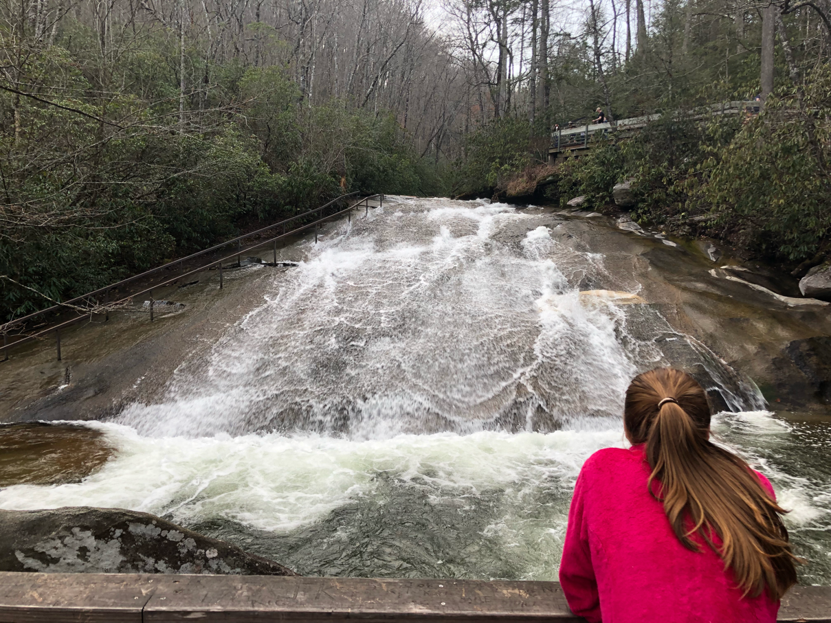
Looking glass Falls and Sliding Rock


Both waterfalls are located in the Pisgah National Forest and are down the road from one another.   Both waterfalls are perfect spots for families with small children and those with limited mobility as there is no hike required.   However,  the waterfall may be viewed its base by hiking down a short set of steps.    


(Above: Looking Glass Falls)


(Above: Sliding Rock)


Cost: Free; Sliding Rock charges in the summer! 


Tips: Pack bug spray


Note: Bathroom facility is open seasonally at Sliding Rock.  In the summer pack a bathing suit to slide down Sliding Rock! 


Directions

Click here for directions


Disclaimer:
All content provided on Frugal Family Travelers blog is for informational purposes only. The owners of this blog make no representations as to the accuracy or completeness of any information on this site or found by following any link on this site.  The owners of Frugal Family Travelers blog do not share personal information with third-parties and are not responsible for the republishing of the content found on this blog on other Web sites or media without permission.  As with all travel, operating days, times, costs, etc., should be verified prior to departure.

View FrugalFamilyTraveler's photos on Trover


Thursday, March 23, 2017

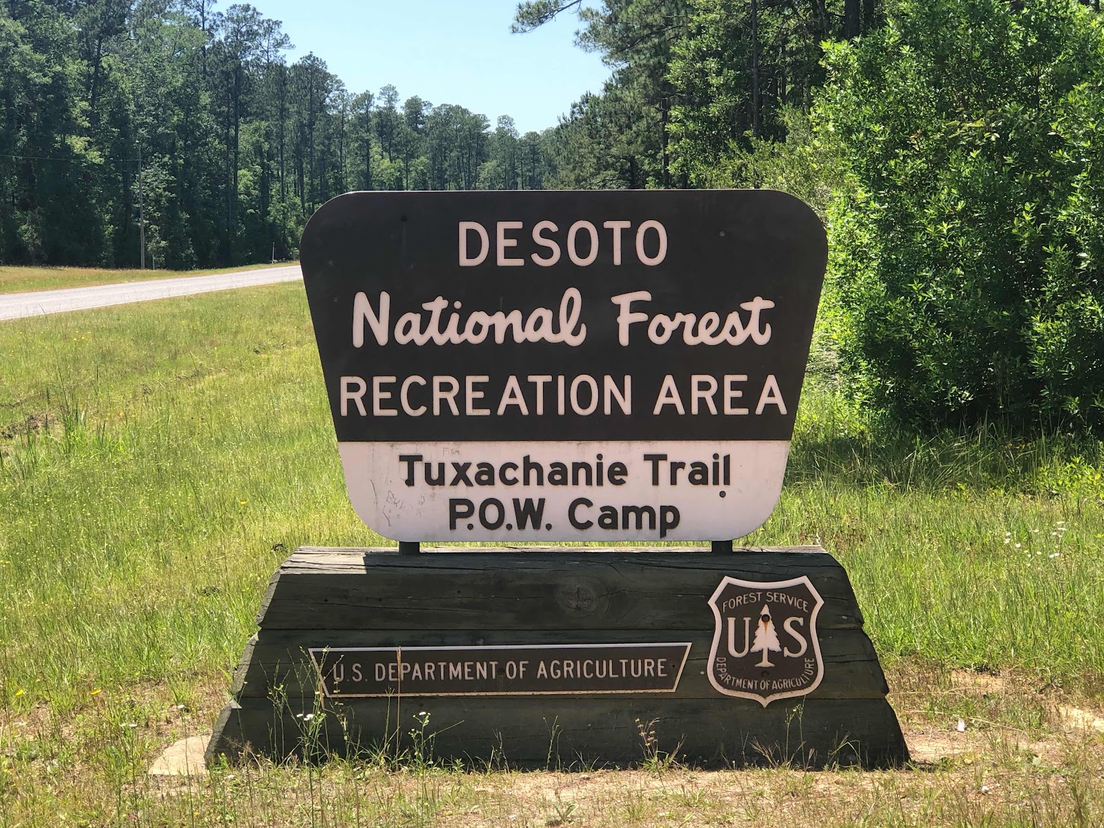
Desoto National Forest: Tuxachanie Trail


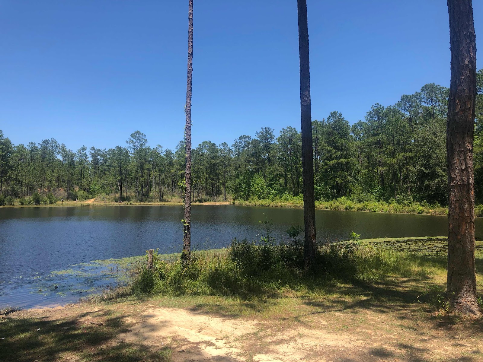
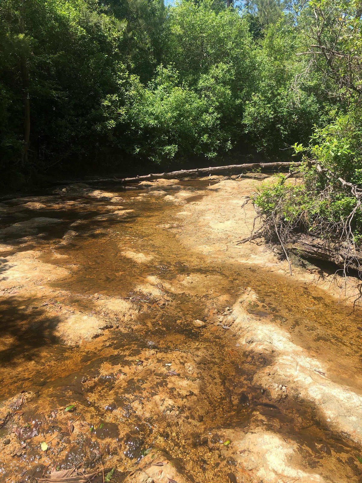
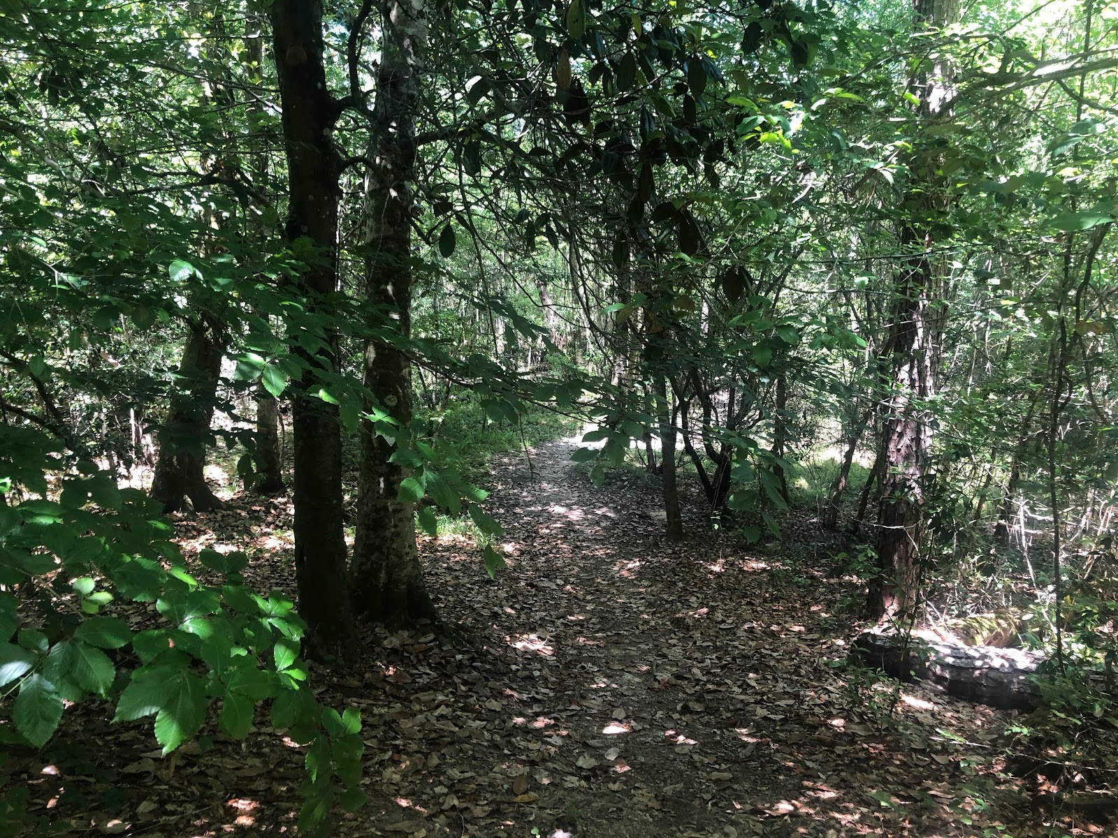
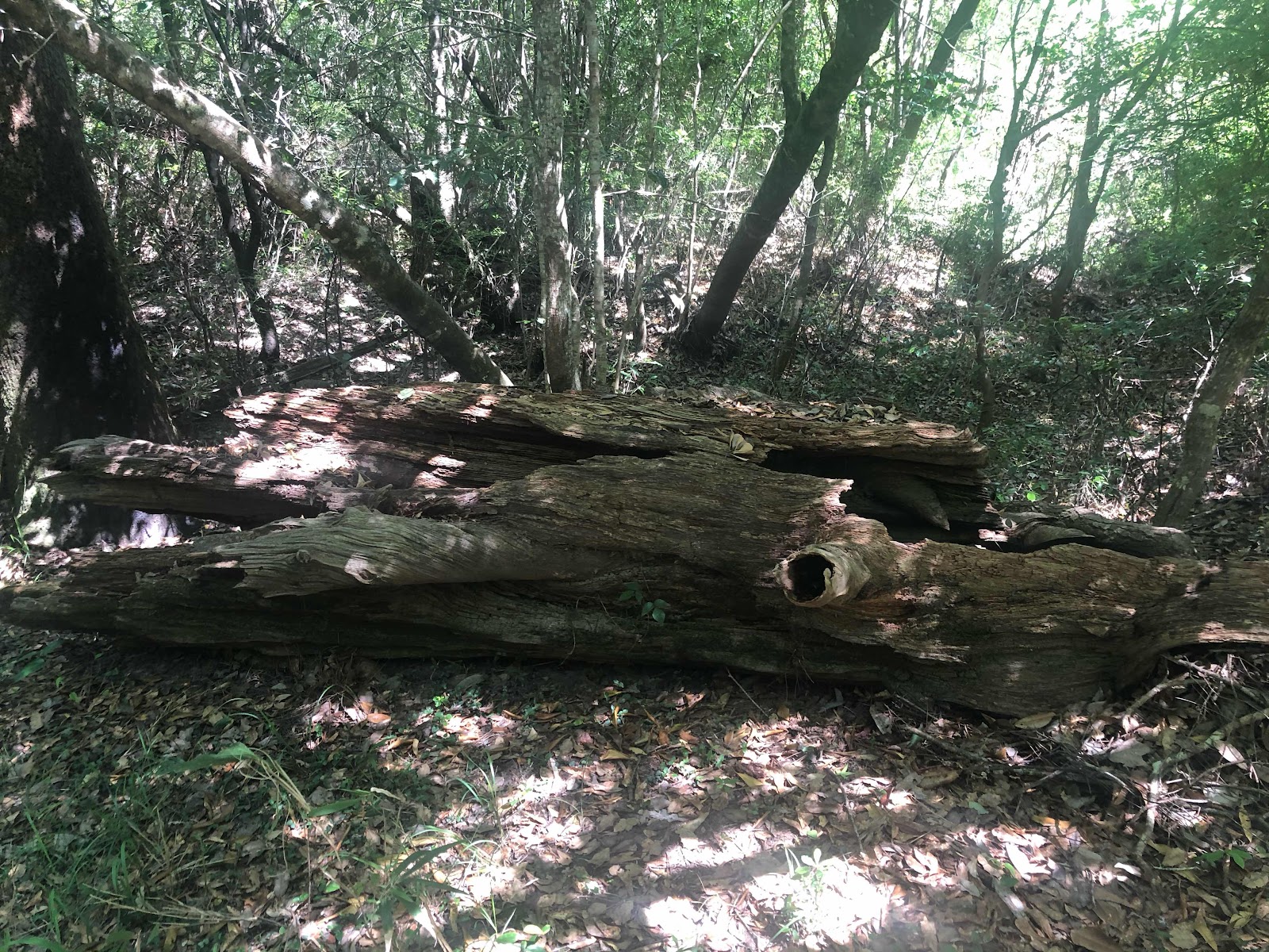
With temperatures near 70 and a cool breeze in the air, the weekend weather certainly warranted a hiking trip.   Therefore, the Frugal Family Travelers packed the van and set out  on an adventure to the Tuxachanie Trail, located in Desoto National Forest.   Spanning the length of Gulfport to Hattiesburg, MS, Desoto  comprises approximately 500,000 acres with the Tuxachanie Trail being one of the gems to be found in this lush forest.   The 12 mile trail  has three access points with opportunities for viewing an array of habitats including wetlands, dry grasslands, creeks, pitcher plants, pine forests and a beautiful magnolia forest.   The trailhead, off highway 49 in Saucier MS, initially follows an old logging rail, where trees were once harvested for a multitude of purposes, including making turpentine and rosin.   

Tips:  Pack water, bug spray and sunscreen; print a map from the forest website or take a picture of the posted copy on your phone before you embark.  It is important to note that during hunting season one should wear orange colored clothing to increase visibility for hunters.   Check the forest service website for hunting seasons.  

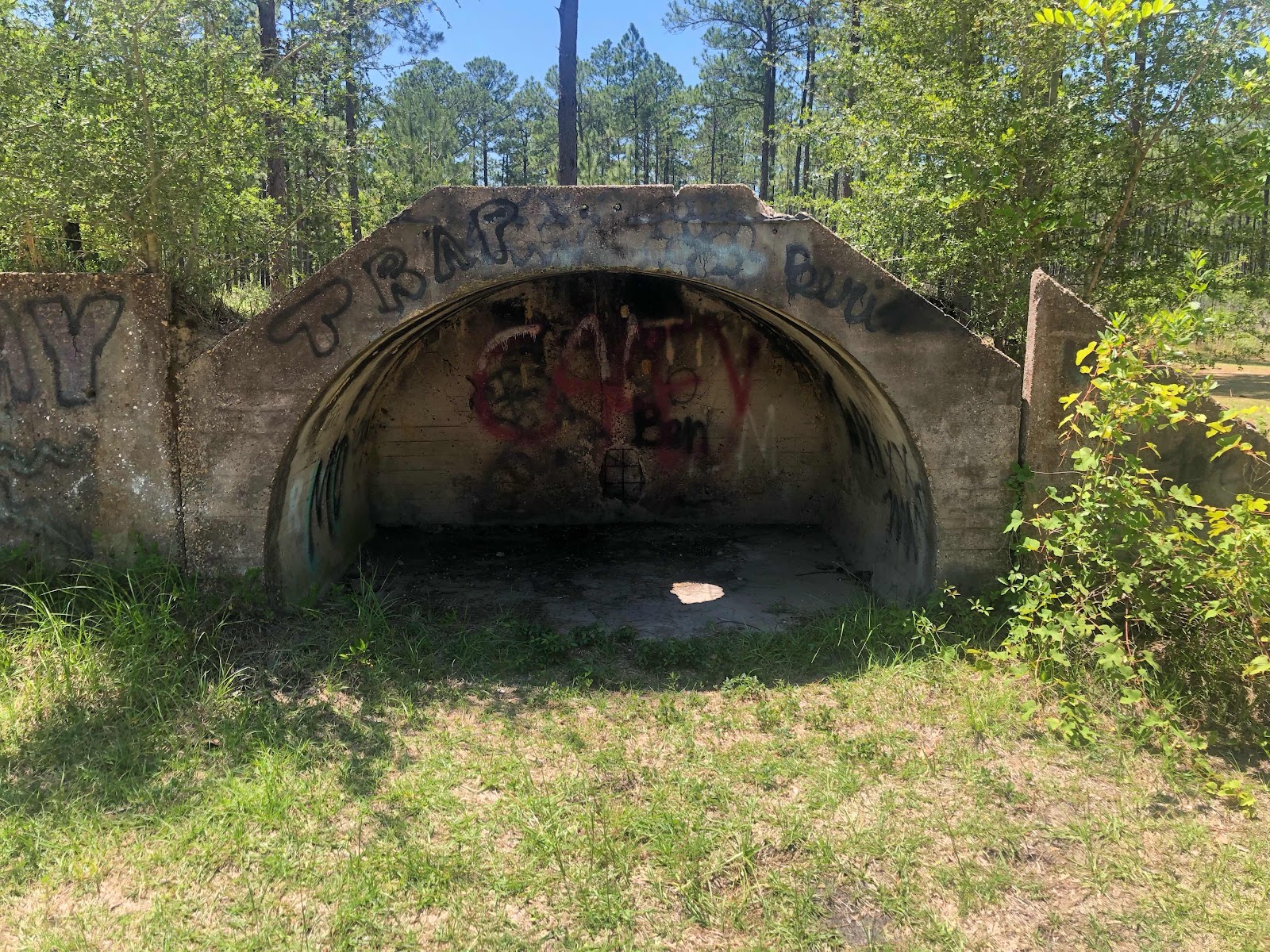
Note:  On the eastern end of the 12 mile trail is an old  WWII POW camp, which overlooks a small pond and also a serves as a recreational area for visitors.  Your Frugal Family Travelers can certainly hike the full 12 miles to this  but be aware that it can also be accessed by vehicle.  

Directions to POW Trailhead and Pictures:
POW Camp Recreation Area 


Directions to Trailhead and Pictures:


Disclaimer:
All content provided on Frugal Family Travelers blog is for informational purposes only. The owners of this blog make no representations as to the accuracy or completeness of any information on this site or found by following any link on this site.  The owners of Frugal Family Travelers blog do not share personal information with third-parties and are not responsible for the republishing of the content found on this blog on other Web sites or media without permission.  As with all travel, operating days, times, costs, etc., should be verified prior to departure.


View FrugalFamilyTraveler's photos on Trover

Friday, July 10, 2015

National Forests are National Treasures--Bankhead National Forest in Northwest Alabama


Lots of folks travel to the Great Smoky Mountains National Park each year.   The Smokies are certainly beautiful but with a reported 10 million visitors in 2014 alone, the park can be very crowded, especially during the summer months.   Why not "shake it up" a bit and try visiting a National Forest?  National forests, in the humble opinion of Frugal Family Travelers, are a best kept secret with adventures to be had by visitors, young and old alike.  If you enjoy hiking, picnicking and a peaceful respite by a waterfall, consider a trip to Northwestern Alabama to visit the Bankhead National Forest. It is certainly not as crowded as the Smokies and will not disappoint those seeking outdoor beauty.  Frugal Family Travelers recently paid a visit here and discovered some picturesque places that make this location worth a visit!    It is important to note, that this national forest is vast and therefore very easy to get lost without proper directions.   We strongly suggest making a stop to the ranger station for maps and detailed directions.  We visited and found the staff very friendly and helpful!  Frugal Family Travelers does provide directions to the sites we visited in this post because some are "off the beaten path" and not listed in literature by Bankhead National Forest.   These particular trails are very primitive and not always well maintained. Also, be aware that these hikes are strenuous and can lead to areas with steep "drop offs".  Furthermore, it is not uncommon to discover yourself on an unpaved road when following driving directions to a waterfall or trailhead!  The above information is not meant to scare any of our readers or discourage your visit but to make you aware of  what is to be encountered on your journey, should you choose to visit this location.  As stated above, this is an amazing location and our Frugal Family Travelers definitely viewed this as a highlight of our trip.  See the pictures below which outline each of the places we visited in the forest and also directions to each location. 

Cost:  

We encountered a fee area in the Sipsey Wilderness Picnic Area and parking lot with an honor box requiring $3.  Bring some dollars with you, in the event you encounter a fee area like this.  However, we did not come across any other fee areas.

For information about camping click here!

Directions:

The following pictures show the trail leading to Turkey Foot Falls.  It is one that is "off the beaten path" in that it is not listed in the national park literature: 

TURKEY FOOT FALLS AND CANYON--- There are 2 very nice sized waterfalls, 3 with sufficient rainfall, a rock shelter, and remains of a 1936 ford sedan located here. To see this place, park in the upper parking lot at the Sipsey River Picnic area, walk across the wooden bridge between the 2 parking lots, just as you cross, turn right and pick up the trail, follow it up into the canyon. You will come to a small falls on the creek, its about a 3 foot drop, continue on and you will come to the fram of a 1936 ford sedan. As you continue on up the canyon, you will pass a rock shelter and some large impressive bluffs. Shortly you will come to lower turkey foot falls to your right, cross the creek just past where they meet to get over to the falls. Come back across the creek and head up the hill to your right and walk next to some more bluffs. In a few minutes you will have to drop down a steep and slick hill to the creek to cross over to get up to turkey foot falls, or mize falls as some call it. When you leave you can walk out the way you came in. 
(Directions above credited to http://sipseywildernessphotos.webs.com/)


The following pictures show the trails leading to the upper and lower Caney Creek Falls:
CANEY CREEK FALLS AND CANYON--- The directions to the upper falls can also be obtained by the National Park Service.   However, the directions to the lower falls can be found below and are not provided by the National Park Service.  To first reach the falls, go west on hwy 2 from hwy 33 about 4 miles, there is a small parking area on your right, with a gate blocking a road, park here and follow the road for about 30 minutes (about a mile) to the falls. It is in a residential area and not easy to find.   Talk to a ranger to be clear.   Follow this trail to the upper falls.   Once you are at the upper falls, cross the creek below the pool, be very careful crossing here, once across, you can walk around to your left under an overhang, which is really nice, you can even have a picnic on the sandbar. Head downstream to the lower falls, follow the creek, there is a trail to follow. You will have to cross the creek 3 times on your way down, but its worth it. The lower falls are much wider, but without enough rain, they wont be very wide. The lower falls also drops into a pool. To get down to the falls, continue on downstream on the right side, you will be walking on a side of a hill, the trail then turns left and goes downhill, and yes, it is very slick here, make your way down around a nice rock shelterand back upstream to the falls, once there, there is a smaller falls to your left. Above this smaller falls a short piece is another waterfall, its not very big, but it is nice. The walk downstreamfrom the upper falls will take at least 45 minutes.
(Directions above credited to http://sipseywildernessphotos.webs.com/)

The following picture represent Kinlock Falls:

Take Highway 33 South; turn right on Highway 278, then take a right on Highway 195 North.  Go approx. 11 miles, turn right on CR 23 in Rabbittown (this road will become Forest Serice Road 210).  Stay on CR 23 and when it turns to gravel approx.  3/4 mile, immediately before the bridge there will be a pull off area.  Falls are on the right side of the road.  Note: this is a narrow road and the pull off is quite small so be prepared!  You will possibly find people sliding down the falls and or swimming below.   Talk to a ranger about the water levels and dangers involved BEFORE doing so.  There is no lifeguard on duty and this area could be very dangerous for swimming with varying water level!  Kinlock Falls can be heard as soon as you exit your vehicle and is just a short walk from the main road.


Tips:
Hike times vary for those of varying age and skill - factor in extra time.   Never enter a long trail at dusk! Pack a first aid kit, water, bug spray and snacks! Most of the time there is NO cell service in the National Forest so let someone know when you enter and depart a trail. 

Disclaimer:
All content provided on Frugal Family Travelers blog is for informational purposes only. The owners of this blog make no representations as to the accuracy or completeness of any information on this site or found by following any link on this site.  The owners of Frugal Family Travelers blog do not share personal information with third-parties and are not responsible for the republishing of the content found on this blog on other Web sites or media without permission.  As with all travel, operating days, times, costs, etc., should be verified prior to departure.