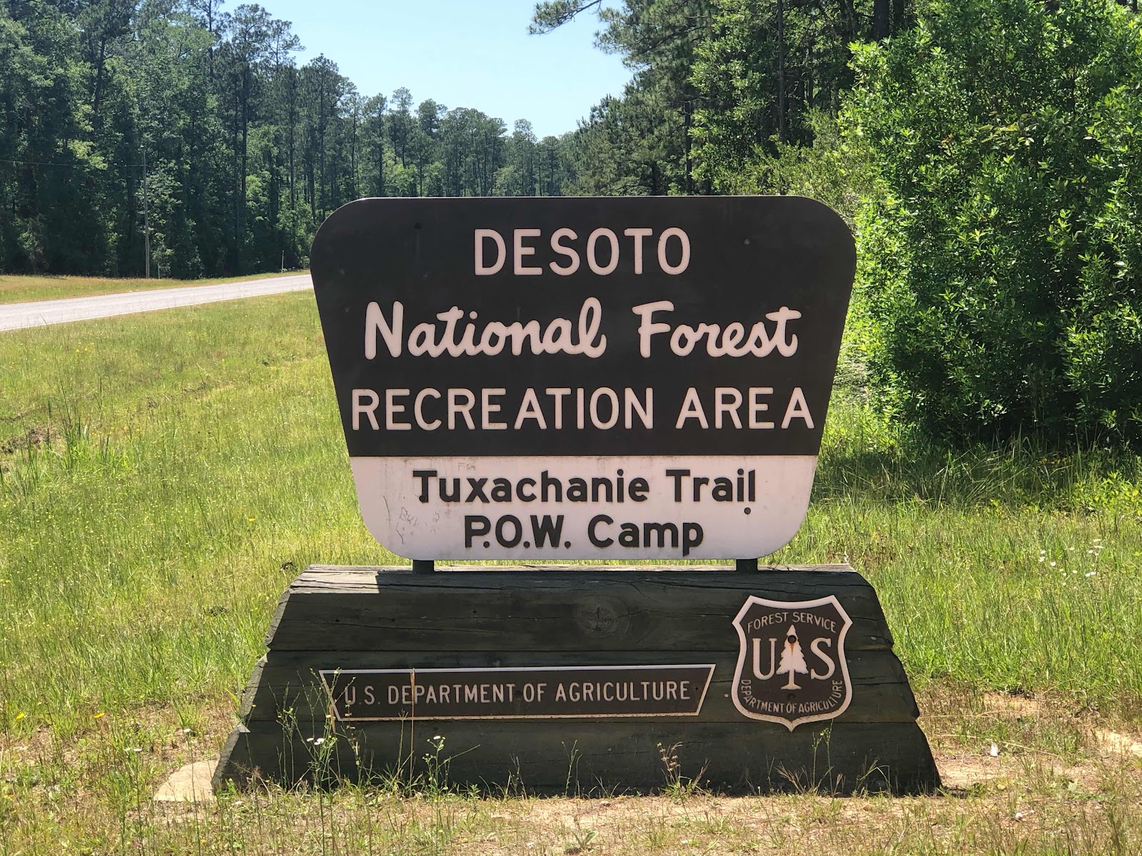
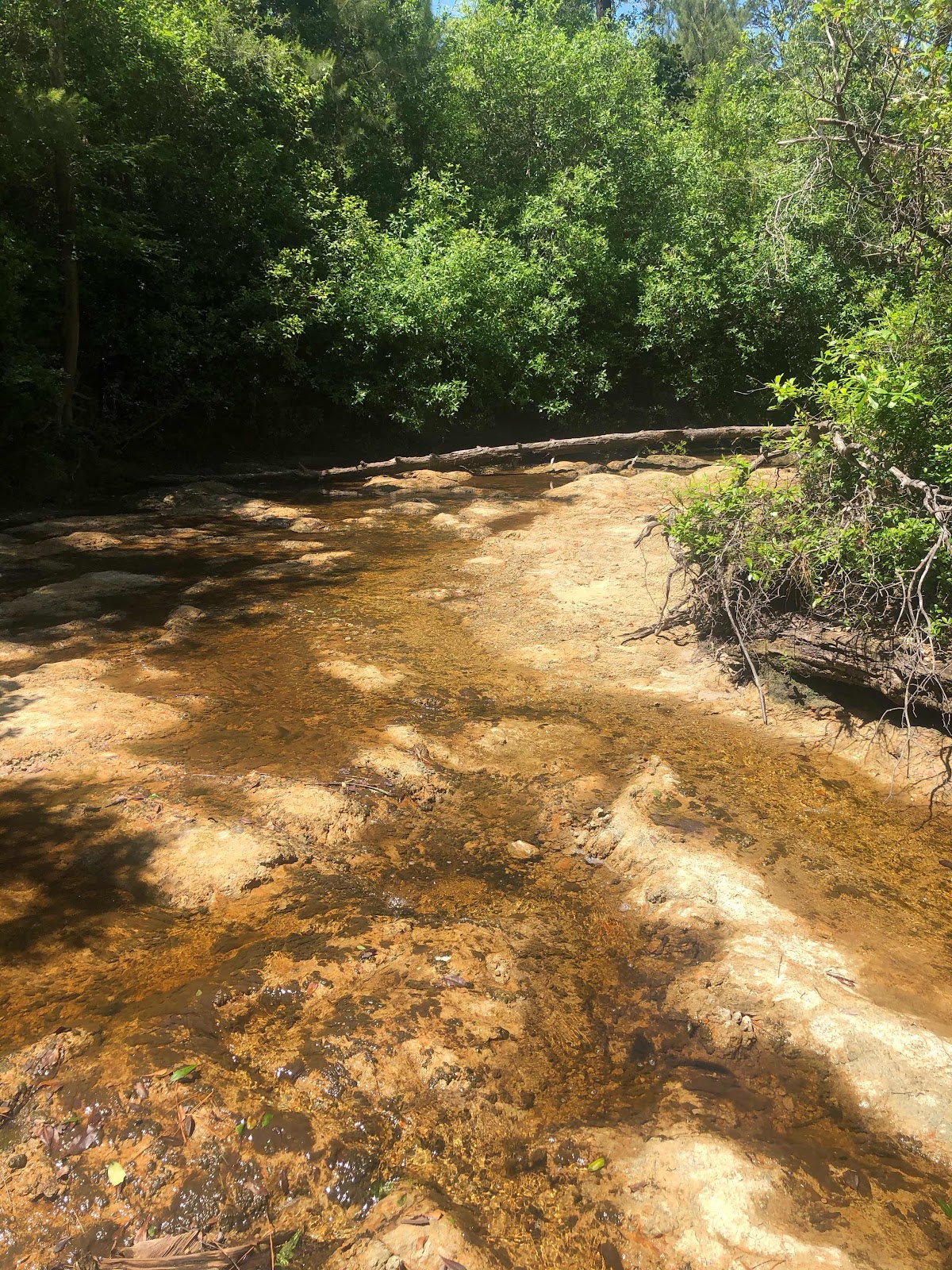
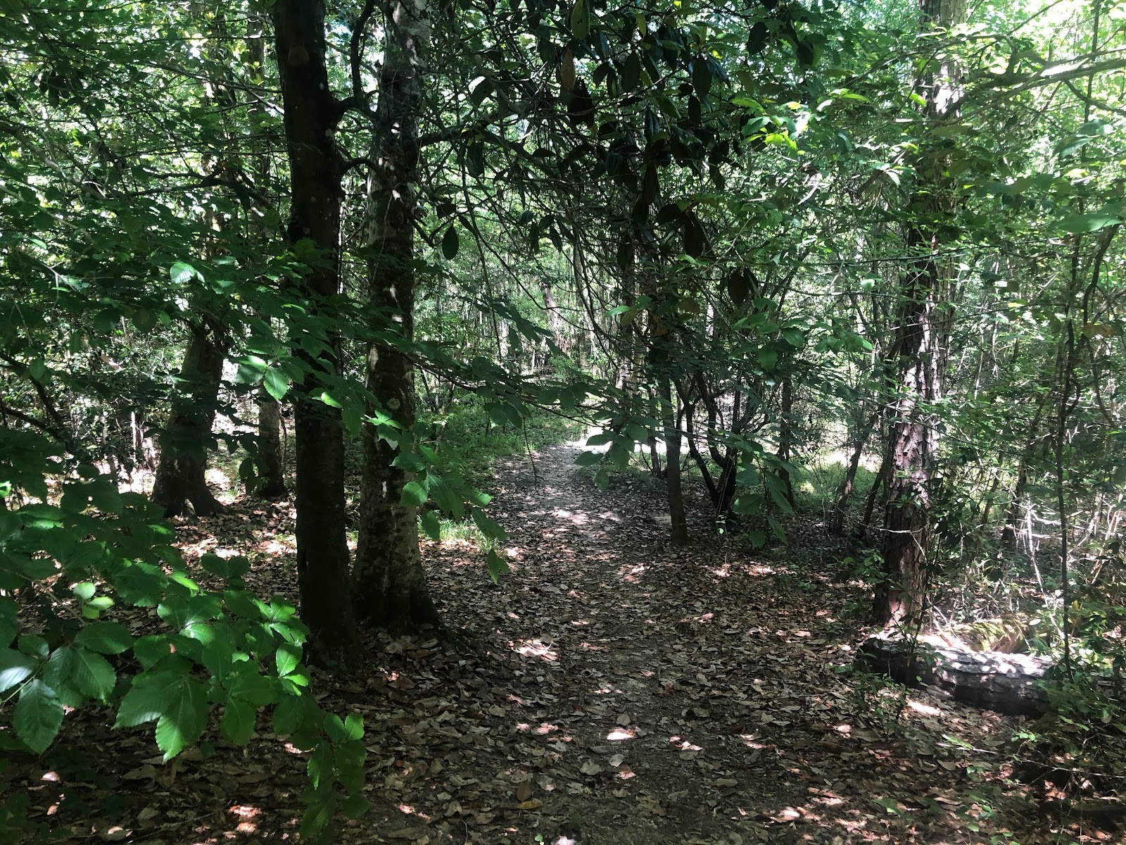
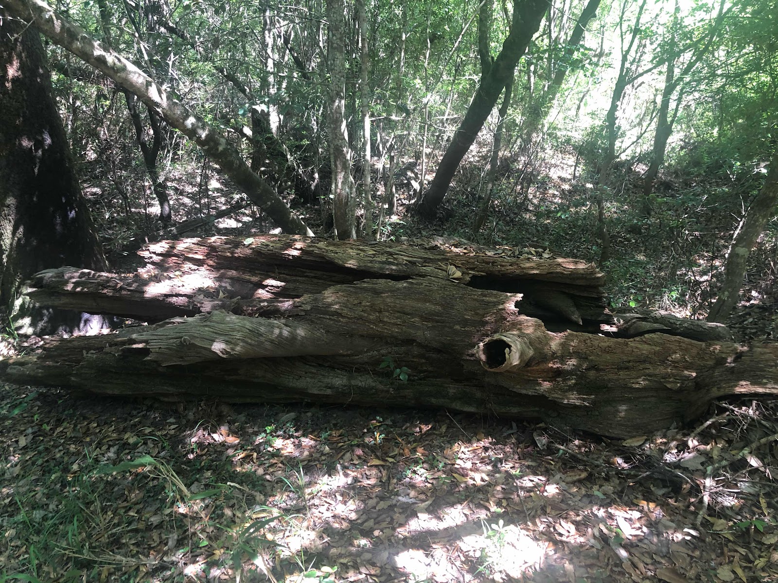
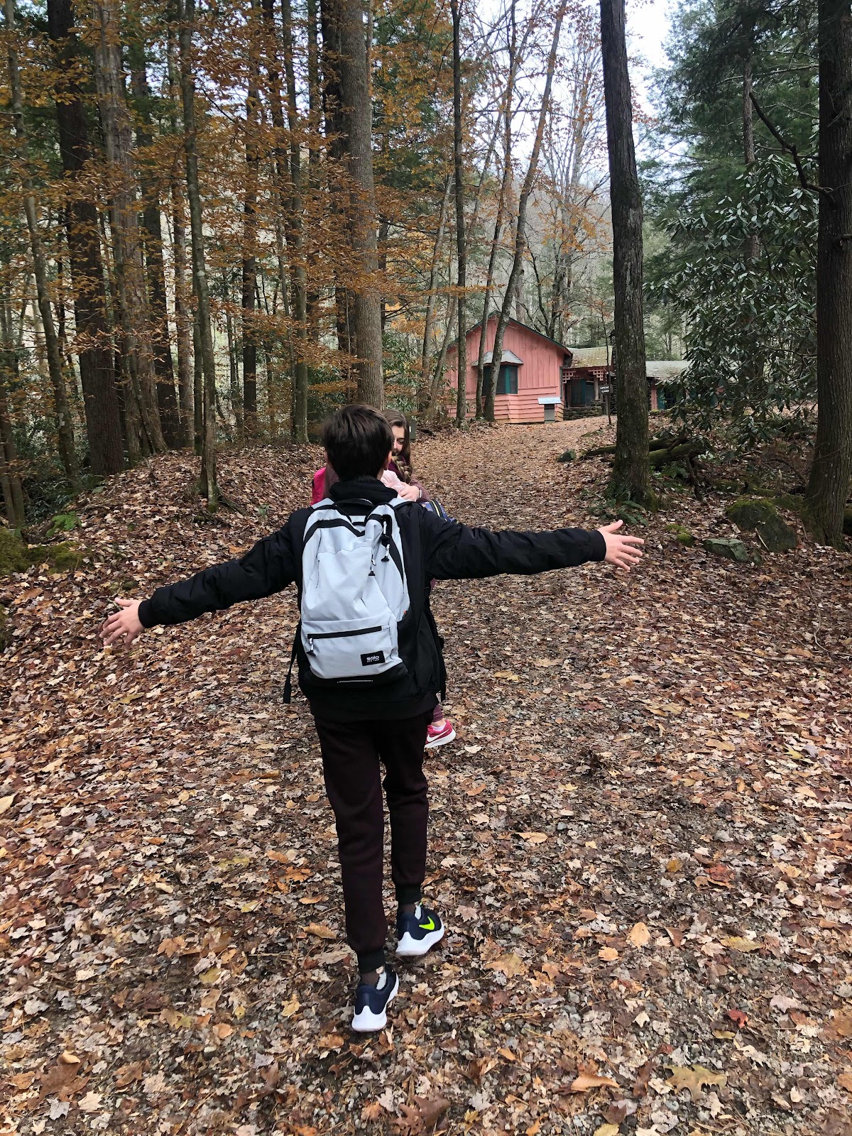
With temperatures near 70 and a cool breeze in the air, the weekend weather certainly warranted a hiking trip. Therefore, the Frugal Family Travelers packed the van and set out on an adventure to the Tuxachanie Trail, located in Desoto National Forest. Spanning the length of Gulfport to Hattiesburg, MS, Desoto comprises approximately 500,000 acres with the Tuxachanie Trail being one of the gems to be found in this lush forest. The 12 mile trail has three access points with opportunities for viewing an array of habitats including wetlands, dry grasslands, creeks, pitcher plants, pine forests and a beautiful magnolia forest. The trailhead, off highway 49 in Saucier MS, initially follows an old logging rail, where trees were once harvested for a multitude of purposes, including making turpentine and rosin.
Tips: Pack water, bug spray and sunscreen; print a map from the forest websiteor take a picture of the posted copy on your phone before you embark. It is important to note that during hunting season one should wear orange colored clothing to increase visibility for hunters. Check the forest service website for hunting seasons.
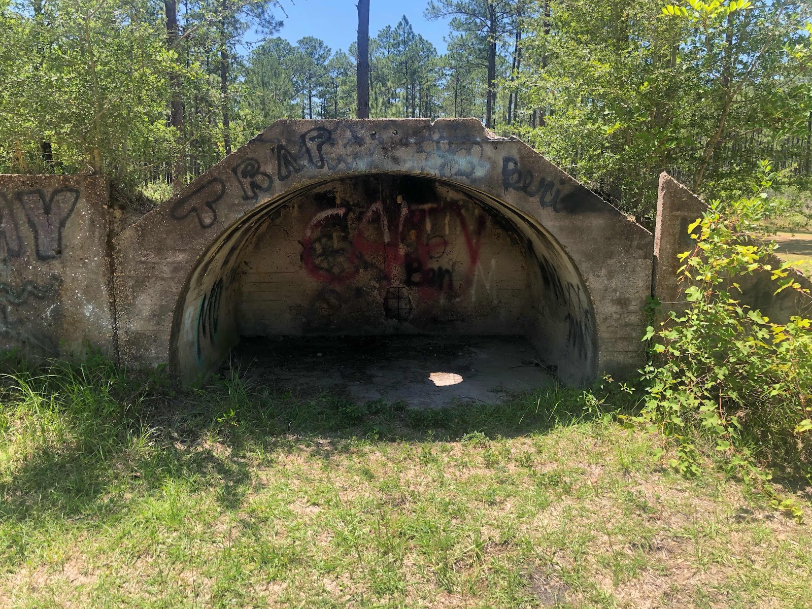
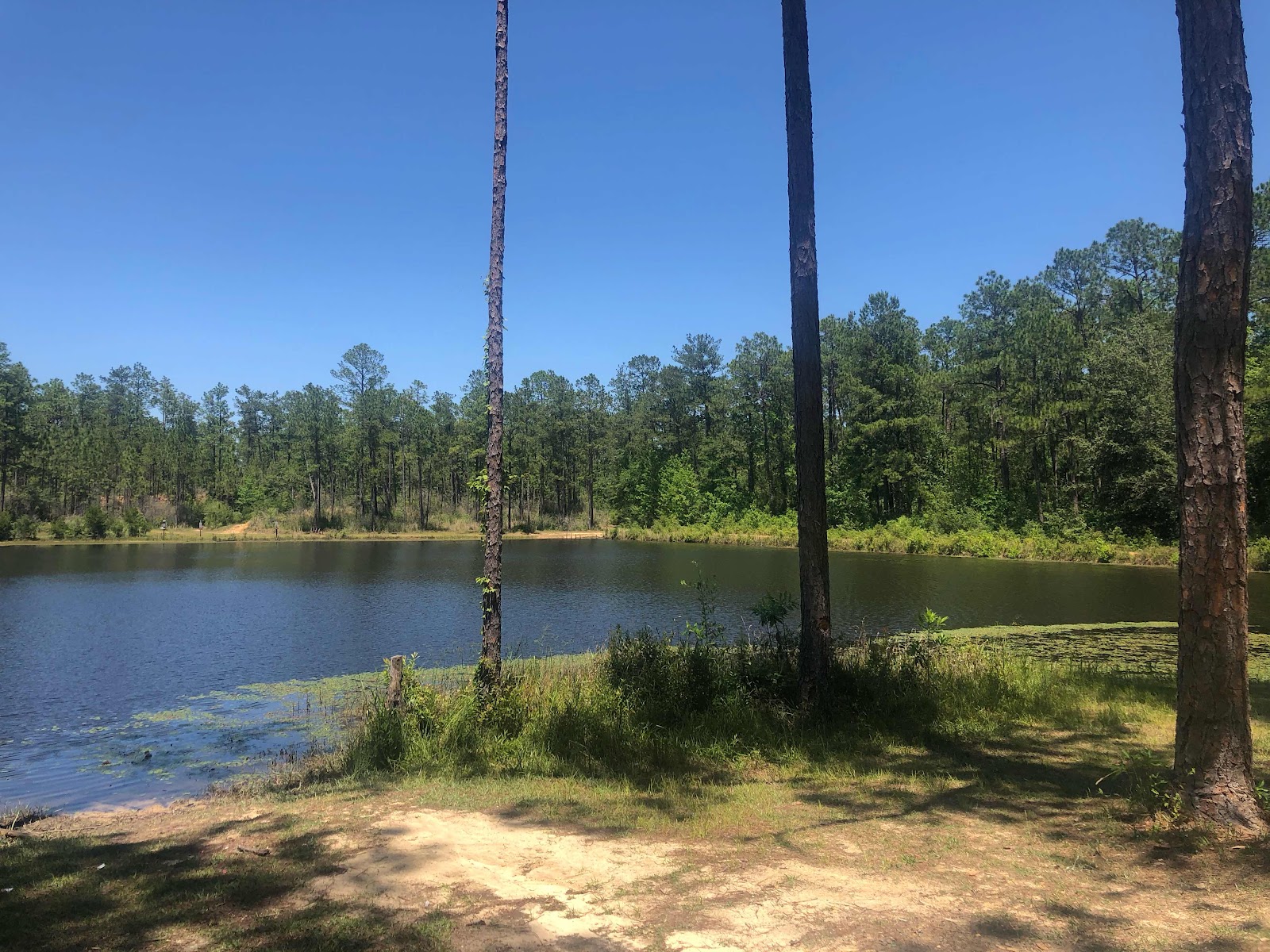
Note: On the eastern end of the 12 mile trail is an old WWII POW camp, which overlooks a small pond and also a serves as a recreational area for visitors. Your Frugal Family Travelers can certainly hike the full 12 miles to this but be aware that it can also be accessed by vehicle.
All content provided on Frugal Family Travelers blog is for informational purposes only. The owners of this blog make no representations as to the accuracy or completeness of any information on this site or found by following any link on this site. The owners of Frugal Family Travelers blog do not share personal information with third-parties and are not responsible for the republishing of the content found on this blog on other Web sites or media without permission. As with all travel, operating days, times, costs, etc., should be verified prior to departure.
East of Birmingham, AL and nestled in the Talladega National Forest is a treasure worthy of any Frugal Family Traveler's attention. With beautiful hiking trails, waterfalls, stunning scenic overlooks, a beautiful swimming pool and stone-hewn buildings (compliments of the Civilian Conversation Corp), Cheaha State Park does not disappoint! Those who frequently read our blog, know how much we enjoy hiking, letterboxing/geocaching and waterfalls! This Spring Break we wanted to experience all of this! However, we could not spare the extra days in order to travel to a place like the Smoky Mountains. Cheaha provided everything we were looking for and much more but the best part is we spent a lot less time traveling! We left our home on a Sunday afternoon and returned late on a Tuesday evening. By looking at the pictures below you will be amazed at all we were able to see and do in such a short amount of time.
We spent our first afternoon in the park at the top of Mt. Cheaha which also happens to be the highest point in Alabama at 2407 feet high. It is easily accessed by driving the loop trail which starts at the entrance to the park. Once atop the mountain, a tall stone tower was found! It serves as an observation area for guests of the park. Our Frugal Family Travelers loved climbing the winding staircase of the tower! Being that the walls of the tower are so thick and made of stones, it was like being inside a cave! The cold temperatures made the climb all the more exciting for our Frugal Family Travelers. Once at the top, our time was spent relaxing and enjoying the beautiful scenery!
Next we loaded up the car and from the same loop driving trail we accessed the Doug Ghee Accessible Trail to Bald Rock which is adjacent to the group lodge facility. This trail is an amazing gentle sloping boardwalk which mirrors the original trail built by the CCC (Civilian Conservation Corp). This is great for those traveling with those seeking a wheelchair accessible trail, a trail for someone with a physical condition which prohibits hiking, and little ones in strollers! This short 1/4 mile trail ends at the edge of a mountain with stunning views of the valley below. The boardwalk also has stairs periodically along the path which allows access to the ground below for those wanting to explore further. Our Frugal Family Travelers loved the views and the geocache we found hidden off the main boardwalk trail! After this we had a quick dinner and turned in for the night to reserve our strength for the next day of adventure!
Our first adventure of day 2 was an amazing hike to Pulpit Rock! Although a short hike (approximately 1/4 mile) it has a steep descent at the beginning. It's well worth the effort though with views very similar to the ones you will see at Bald Rock!
After our trip to Pulpit Rock we decided to explore several hiking trails to waterfalls outside of the state park in the adjacent Talladega National Forest. The first of which was the Chinnabee Silent trail. This beautiful three mile trail parallels the stream most of the time and provides a beautiful view of both Devils Falls and Cheaha Falls. This challenging hike is three miles in and then back out again with some narrow trails passages along steep cliffs. You will know you are close to Cheaha Falls when you see the Cheaha Falls Shelter. It is important to note that parking areas are provided at each end of the trail to provide easier access points to each of the falls for those not wanting to hike the full trail in and back out. Prior to your hike, be sure you stop at the Cheaha State Park store, located at the entrance of the park for directions and for a trail map!! Pack plenty of water, snacks and sunscreen. Consider having a picnic lunch packed and ready when your return to the parking lot. There is a nice picnic area next to the stream and our Frugal Family Travelers certainly enjoyed this respite after our six mile journey. Note: A vaulted restroom is also located on site.
The final waterfalls our Frugal Family Travelers visited was a series of falls called High Falls! This is a very short hike (1/4 mile) which provides some beautiful views and excellent access to the water. With a stream crossing over the rocks to the first falls and a trip up two sets of ladders to see the other sections of the falls, we were amazed! Plan time in your trip to explore and relax as you hear the sound of the water cascading over the rocks!
Note: This state park was truly a gem of a find with tent camping, areas for RVs, cabins, and a hotel type lodge, complete with a restaurant! Tips: Make sure you stop by the store at Cheaha State Park for trail maps. Pack plenty of water when hiking, wear sunscreen and bring ponchos in case you encounter an unexpected shower. Directions:
Click on ALL underlined text for access to more information regarding each location above!
Disclaimer:
All content provided on Frugal Family Travelers blog is for informational purposes only. The owners of this blog make no representations as to the accuracy or completeness of any information on this site or found by following any link on this site. The owners of Frugal Family Travelers blog do not share personal information with third-parties and are not responsible for the republishing of the content found on this blog on other Web sites or media without permission. As with all travel, operating days, times, costs, etc., should be verified prior to departure.
The Great Smoky Mountains National Park is one of the most visited parks in the US. Whether it be swimming, hiking, waterfalls, history, or the beauty of the mountains in October when the leaves begin to change colors, there is always something to see and experience in the park, regardless of the season one chooses to visit. Our Frugal Family Travelers enjoyed the park this summer! In addition to some of the most frequented spots by the park's approx. 9,000,000 visitors a year, we chose to visit some of the less traversed areas as well. In doing so we discovered some amazing spots that we highly recommend to anyone planning a visit here in the future.
There are 4 visitor centers located within the Great Smoky Mountains National Park. Sugarlands, Cades Cove, Clingman's Dome and the Oconoluftee (near Cherokee, NC). In addition to a visitor's center, Oconoluftee offers the Mountain Farm Museum and Mingus Mill which features historic cabins and building collected from places throughout the Great Smoky Mountains and preserved on site for viewing, The visitor centers and the rangers who work there are an amazing wealth of knowledge and source for planning amazing adventures while visiting the park. Each center sells booklets for $1-$2 which focus on a particular area of interest within the park, such as waterfalls, auto touring, and hiking. We relied heavily on these booklets and bought everything we needed for less than $10! This was our ONLY expense for all of the adventures you see below. The rangers are also happy to help you with any and all questions. If you tell them what you are interested in seeing or doing, they are happy to point you in a direction to find those adventures. There is also a free quarterly newspaper published by the National Park Service which contains a calendar with interesting ranger-led activities and demonstrations happening throughout the park. Take advantage of these special program offerings as they will add yet another layer of excitement for your Frugal Family Travelers while visiting the park.
Another "secret" which may be obvious to some to keep these adventures affordable was to picnic nearly every day for lunch. There are picnic spots located throughout the park and almost every trail-head has a picnic area and restroom. Many spots also include barbecue pits and more than once we wished we had brought some grub for the grill!
A picture is worth a thousand words. View the pictures and links posted below to discover some familiar locations in the park and some locations that are "off the beaten path".
This site with multiple waterfalls is located just minutes from the Sugarlands Visitors Center. No hiking required--park right in the parking lot and walk just a few steps!
This bridge is located near the trailhead for Abram's Falls. Abram's Falls is a 2.5 mile hike (5 miles round trip) and is touted as a great family hike. We started out too late in the evening so we chose to hike to the Elijah Oliver cabin from this trailhead. This 1-mile round trip hike was easy and we all had a good time!
Trail to Hen Wallow Falls Note: Hen Wallow Falls was a new waterfall to the Family Frugal Travelers. After locating this waterfall on the waterfall guide provided by the National Park Service, we decided to give it a try! The trailhead is located about 30-35 minutes from Gatlingburg via Highway 321. The hike is 2.4 miles one way (4.8 round trip) and was moderate in difficulty. There were multiple stream crossings like the one below with bridges made from old logs. This was truly one of the favorite attractions for our younger travelers. The falls were stunning and truly made the hike worthwhile. There is a beautiful picnic area with restrooms at the trailhead where we also enjoyed a picnic after our hike.
Trail Behind Sugarlands Visitor Center: This trail is great for families who do not want to take a strenuous hike with small children. The trail head is right behind the Sugarlands Visitor Center. This short .9 mile trail links the town of Gatlinburg to the visitor's center. This was a great end of the day activity for us and a great place for skipping rocks across the stream.
Note: This waterfall is not listed on any park map but is one of the most beautiful hikes! Please note that this is very a strenuous hike with vary narrow paths at times adjacent to steep drop offs. In order to access the trail for Spruce Flat falls, follow the signs for the Tremont Institute within the National Park. The Institute is located near Townsend, TN. After parking in the parking lot, look for the sign for Spruce Flat Falls. Spruce Flat Falls was truly an amazing find because there are few hikers and the area is vitually undistrubed. Southern Living Magazine has named it the Best Photo Spot in the Smoky Mountains.
Look Rock observation tower is located on the scenic Foothills Parkway. An easy 1/2 mile hike leads to the observation tower which provides a spectacular 360-degree panoramic view of the mountains. The Foothills Parkway is not as busy as other roads in the park, so this is a great place to get away from the crowds and traffic, especially during the summer months or peak fall leaf color viewing times in October. The Parkway is 18 miles long with many scenic pull-offs. Look Rock is at the highest point along the Parkway. The National Park Service maintains a picnic area and a campground at Look Rock. Look Rock is a great alternative to the more lengthy drive to Clingman's Dove and offers a competing view!
(Be sure to click on all highlighted text within the blog for additional information regarding activities, including websites, special instructions and travel directions!)
Disclaimer:
All content provided on Frugal Family Travelers blog is for informational purposes only. The owners of this blog make no representations as to the accuracy or completeness of any information on this site or found by following any link on this site. The owners of Frugal Family Travelers blog do not share personal information with third-parties and are not responsible for the republishing of the content found on this blog on other Web sites or media without permission. As with all travel, operating days, times, costs, etc., should be verified prior to departure.